
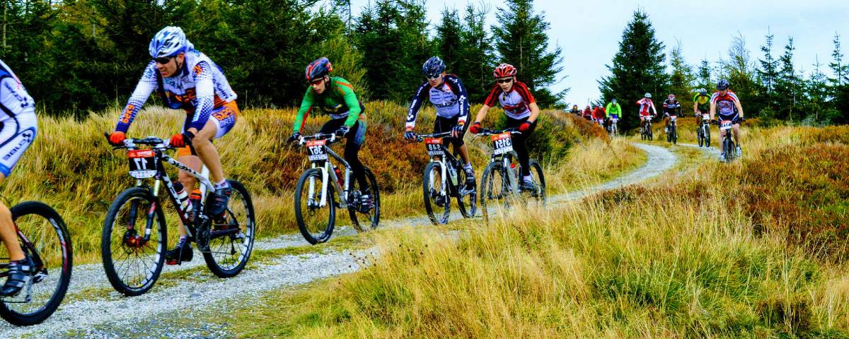
Running from north to south, the Grande Traversée de l’Ardèche mountain bike route is one of the most beautiful long-distance routes in the department. It links mountains, plateaus, forests, villages and gorges along a challenging route, though one that is accessible to fit mountain bikers and well-organised touring cyclists.

A mountain bike route to experience the Ardèche in a different way
The Grande Traversée de l’Ardèche (GTA) mountain bike route is one of the department’s major mountain trails. It links the Haut and Bas Vivarais, between Annonay and Bourg-Saint-Andéol, over a distance of approximately 315 kilometres, which varies depending on the route chosen. The route passes through a wide variety of Ardèche landscapes, alternating between wooded sections, open plateaus, more technically challenging terrain and areas that become increasingly southern in character.
Designed as a genuine touring experience, this route allows you to explore the Ardèche in all its geographical depth. You gradually make your way from north to south, taking in the region’s varied landscapes: mid-mountain areas, volcanic massifs, Cévennes terrain, limestone gorges and the descent into the Rhône valley. For mountain bikers and cyclists keen to experience long-distance sport cycling alike, this is a comprehensive and nomadic way to discover the department.
The full route takes an average of 7 days to complete and features a significant elevation gain, ranging from 5,700 to 7,500 metres depending on the route breakdown and sources. The route mainly follows long-distance hiking trails, notably the GR4 and GR7, giving it a very natural and, at times, technical character.
A signposted route, designed for hiking
Signposting is one of the GTA VTT’s key strengths. The route is signposted in a north-south direction, with a route designed for a journey lasting several days and organised into stages. Official sources indicate a classic 7-stage version, with alternative starting points available depending on participants’ needs and fitness levels.
The route can be completed on a standard mountain bike or an electric mountain bike, depending on your preference, provided you carefully plan for battery range, charging times and the associated logistics.
The main starting point is in Annonay, but there is also an alternative route starting from Saint-Félicien. Some descriptions of the route also mention Tournon-sur-Rhône as another possible starting point for the northern section. This flexibility is of interest to readers of ardeche.one, as it allows the route to be presented as a flexible, long-distance crossing rather than a fixed itinerary.
Landscapes of stark contrast
One of the great attractions of this route lies in the diversity of the landscapes it passes through and its varied topography.
The first section leads towards the hills of northern Ardèche, with varied landscapes, featuring the Grand Felletin as a backdrop and deep valleys such as the Cance.
The route then moves into the Ardèche mountains and their more open landscapes after a brief detour into the Altiliger region via Saint-Bonnet-le-Froid, featuring prominent landmarks such as Lake Devesset, the Mézenc, the Gerbier de Jonc and the watershed.
Further south, the route takes on a more Mediterranean feel, characterised by chestnut groves, a landscape of granite and limestone, the Païolive Wood, before reaching the unique Ardèche Gorges and culminating in the Rhône Valley.
This variety gives the route a real sense of travelling through time and space. The landscapes change rapidly, sometimes within the space of a few dozen kilometres, allowing you to gain an understanding of the Ardèche region’s geography without getting off your bike. The route is not just a sporting challenge; it is also a journey through geography, history and culture.
A challenging level, which requires careful preparation
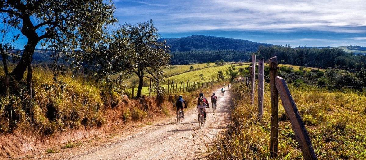
The Grande Traversée de l’Ardèche mountain bike route is rated as requiring a high level of riding ability – around 4/5 – which confirms that it is a demanding route. The terrain, elevation gain and length of the route require a good level of fitness, a minimum of mountain biking experience and the ability to ride for several days in a row. Some stages include technical sections, particularly on stony tracks or in mountainous areas.
This does not mean that the route is reserved for a select few specialists. It is an option for motivated cyclists, provided they plan their trip carefully, choose the right time of year and, if necessary, adjust the breakdown of the stages. E-MTBs are also suitable for this route, with rental options available in certain sections; however, you’ll need to plan carefully how to charge your batteries during your trip.
The main stages and maps
The version most commonly cited is divided into seven stages:
- From Annonay to Devesset and its lake
- Devesset in Les Estables
- Les Estables in Lanarce
- Lanarce to Montselgues
- Montselgues in Les Vans.
- Les Vans in Vallon-Pont-d’Arc
- Vallon-Pont-d’Arc to Bourg-Saint-Andéol.
There are other, more detailed breakdowns depending on the route variations and service stops, with sometimes as many as 8 to 10 sections if the journey is broken down further or alternative routes are taken.
Interactive map
View online or download to your mobile phone linked to Google Maps Mobile for GPS tracking as you make your way across the Ardèche on a mountain bike:
Digital map
Document version, available online to help you prepare for your GTA:
Cycling and Cheese in Ardèche
Featuring numerous goat, cow, and sheep milk cheese specialties and a wide range of “Accueil Vélo” (Cyclists Welcome) certified accommodations along the route, the Ardèche mountain bike crossing is also part of the “Vélo & Fromages” network—offering a gourmet exploration of the region.
- “Vélo & Fromages” map, routes in Ardèche:
Planning your cycling trip
Planning a trip on the GTA VTT is a bit like planning a short holiday. You’ll need to think about accommodation, meals, water, any recharging you might need for an e-MTB, and luggage arrangements. There are several services available along the route, including luggage transport and certain support or transfer services. For more information, please contact the relevant tourist information offices.
A range of accommodation options and services are available along the route for cyclists, some of which carry the *Accueil Vélo* label. These make it easier to find establishments tailored to the needs of cycle tourists, offering useful services for equipment, parking and relaxation after a stage. In a region of mountains and low-lying hills such as the Ardèche, these options make a real difference to the comfort of your stay.
What to see along the way
The route passes through several iconic locations that lend real depth to the journey. Lake Devesset, the Mézenc Plateau, Mont Gerbier de Jonc, the Païolive Woods and the Ardèche Gorges are among the highlights of the route. Each of these sites tells a story about the department: its volcanic history, high plateaus, forested hills, limestone landscapes and the mark left by water on the rock.
The route through Les Vans, Vallon-Pont-d’Arc and Bourg-Saint-Andéol adds a more southern flavour to the itinerary. Here, you can sense the transition between the inland hills of the Ardèche and the landscapes of the Rhône Valley. It is this succession of different atmospheres that gives the GTA VTT its remarkable character.
Who is it aimed at?
This route is particularly suited to mountain bikers and keen cycle tourers who enjoy challenging rides. It may also appeal to a wider audience, particularly those interested in long-distance cross-country rides, natural landscapes and active holidays in the Ardèche. However, the route requires a degree of self-sufficiency, time and a willingness to put in some effort, though it can be broken down into sections as you wish, for a few hours or a full day: you can choose just a few stages, or aim for a shorter route, particularly with the alternative route starting from Saint-Félicien.
GTA FAQs
- How long is the Grande Traversée de l’Ardèche mountain bike route?
The total distance is around 315 kilometres, depending on the starting point and the route chosen, with various options and possible sections.
- How many days should you allow?
The average duration given for the entire GTA is 7 days, to cover the full route at a standard pace.
- Is the route signposted?
Yes, the route is signposted in a north-south direction and mainly follows hiking trails and long-distance walking routes such as the GR4 and the GR7.
- Can you do it on an e-MTB (electric mountain bike)?
Yes, the GTA VTT can be completed on an e-MTB, and hire options are available in certain areas. Check with the tourist information offices in the areas you’ll be passing through.
- Are there any alternative starting points?
Yes, the main starting point is in Annonay, but an alternative route from Saint-Félicien is also available, and some guides mention Tournon-sur-Rhône: you’re free to plan your own route, in whichever direction suits you best.
- What are the main points of interest?
Among the best-known landmarks are Lake Devesset, Mont Mézenc, Mont Gerbier de Jonc, the Païolive woods, the Ardèche Gorges and Bourg-Saint-Andéol with the Bishops’ Palace.
- Do you need to be a good rider?
Yes, the route is classified as requiring a high level of ridingskilland demands a good level of fitness as well as some experience of mountain biking on varied terrain.
For cyclists wishing to plan their trip, a number of useful services are available on or around the route: luggage transport, suitable accommodation, e-MTB hire and guided support on certain sections. It is advisable to check the weather forecast, bring plenty of water and book accommodation in advance during the high season. The route is best approached as a multi-day trip, with a genuine sense of travelling from place to place, rather than as a simple sporting outing.
- ‘Accueil Vélo’ Accommodation in the Ardèche ↗