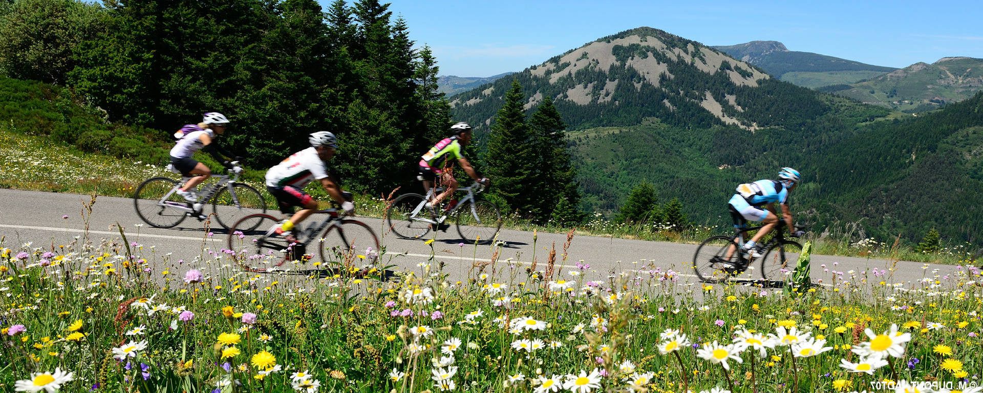
Over the years, the Ardéchoise has becomethe premiercycling event in the department and far beyond! Join us for a bike ride along the roads of the Ardèche.
Launched in 1992, the first edition of the Ardéchoise saw 1,294 cyclists set off from Saint-Félicien towards Lalouvesc.
Almost 20 years later, the 15,000-registrant mark was reached in 2011, and the figure has remained around that average every June since then.
What is the idea behind this race for everyone?
Over 90 routes designed for all cycling enthusiasts, competitive cyclists, cycle tourists and cyclists of all ages, with itineraries ranging from 1 to 4 days, allowing you to explore the Ardèche by bike through 160 villages in the department.
Watch the video
France TV brings you a report on the sporting event of 2017:
L’Ardéchoise, Europe’s largest cycle touring event, kicked off on Wednesday with its leisurely rides and exhibition village in St Félicien. Robert Marchand, the 100-year-old hour record holder, is in attendance but is not allowed to get on a bike.
France 3 Auvergne-Rhône-Alpes
On the roads of the Ardéchoise
Throughout the year, you can follow the Ardéchoise route and its alternative routes through the towns and villages of the Ardèche.
On theroads of the Ardéchoise
From north to south of the department, there are several themed routes available, allowing you to explore the Ardèche by bike at your own pace.
4 routes to explore
The Ardèche
The Queen in her domain. A race that, over the past twenty years, has become a world-renowned legend. So let’s tackle Her Majesty’s route, with its 10 climbs and the ever-changing landscapes of valleys and volcanic mountains! It won’t be easily conquered. It even has a few formidable surprises in store along its 220 kilometres for the most seasoned riders, but it is generous, revealing breathtaking landscapes, rare flora, terraced crops and villages offering a warm welcome and delicious food.
The Chestnut
A route through the heart of the Ardèche, named after the region’s iconic fruit, the chestnut, and even passing through Privas, the capital of marron glacé. Here, the landscape shifts from mountainous terrain to the brilliance and freshness of gentle or steep-sided valleys, home to springs, torrents and rivers. At times rugged, at times gentle, the way of life found in the villages, their architecture, the markets, but also in the specialities—cheeses, charcuterie, and wild or cultivated fruits such as raspberries, blueberries, chestnuts, peaches… unique to each of these regions.
La Méridionale
The longest loop of the “Sur les Routes de l’Ardéchoise” route, it ventures into the neighbouring departments of Gard, Lozère and Haute-Loire to offer ever greater variety – and plenty of mountain passes to conquer! A condensed tour of the Ardèche in 3 or 4 days by bike. A change of scenery and a great atmosphere are guaranteed on this longest loop of “Sur les Routes de l’Ardéchoise”, which is as colourful as the changing seasons and its iconic produce: chestnuts, wines, lavender, fruit, cheeses and charcuterie. And don’t miss the villages imbued with authentic charm, such as Banne, a village of character.
Le Doux
It’s a perfect warm-up loop offering exceptional views of the peaks of the Massif Central and the Alps. Its 85 km aren’t all plain sailing, much like the landscapes of the Ardèche Verte and the Doux Valley. From typical villages such as Pailharès and Nozières to feudal towns like Desaignes and Labatie d’Andaure, two mountain passes hold some lovely surprises. The climb up the second pass, taking you to the village of Lalouvesc at an altitude of over 1,000 metres after a 5-kilometre ascent and a few sections with an 8% gradient, is a real challenge.
On the menu
Map of the Ardéchoise routes:
Other routes and alternatives
Use the interactive map to find routes and alternative routes, and download route descriptions and maps: