
The Dolce Via Greenway
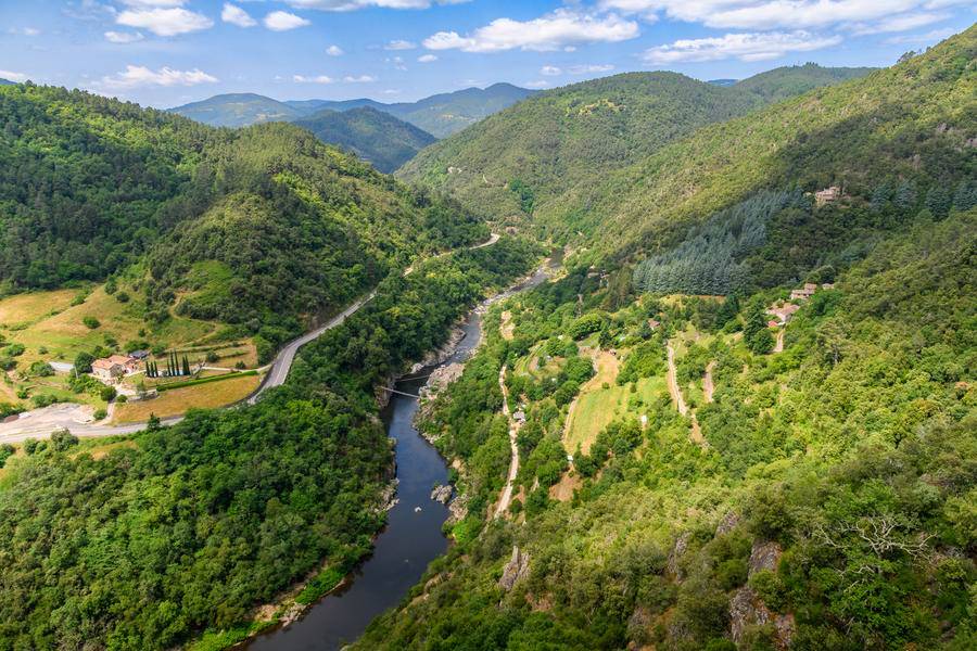
La Dolce Via, stage by stage along the Eyrieux Valley in central Ardèche. From La Voulte to Le Cheylard, a closer look at the different stages of the greenway:
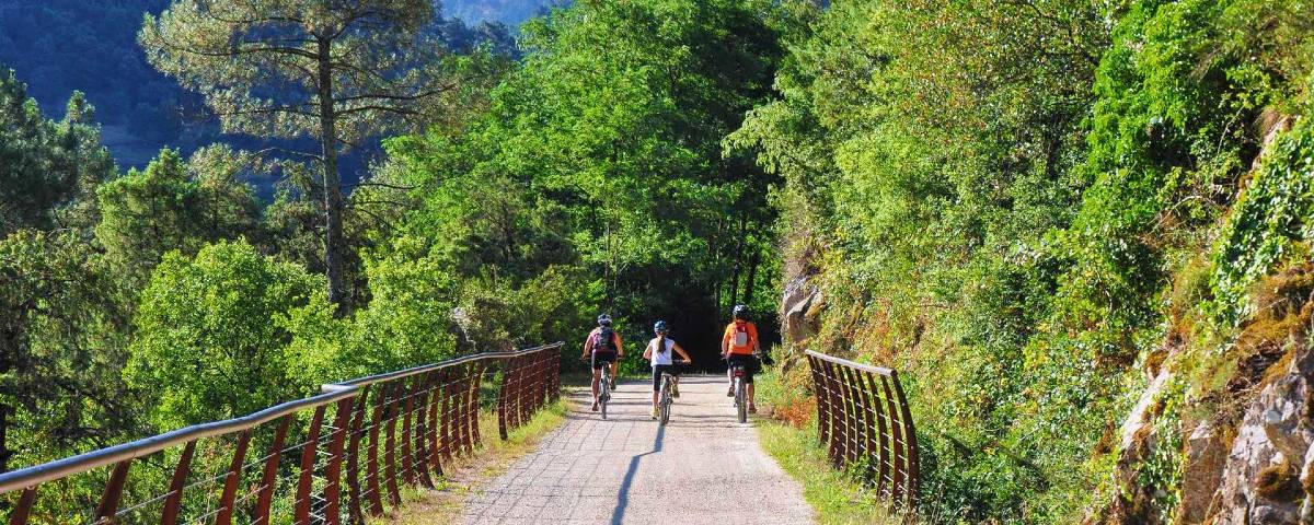
La Voulte-sur-Rhône
Situated along the RD86 departmental road and theRiver Rhône, the tourist office is the starting point for this walk. From the north, you’ll arrive from Beauchastel, a charming village well worth exploring. From the south, you’ll come from Le Pouzin via the Drôme and the Via Rhôna.
Once you’ve passed through the town, the route is shaded and offers lovely views over the Eyrieux valley. It passes byPrioron station. NearRoyas, a path leads to a picnic area on the banks of the Eyrieux. The landscape then opens up and, after thePontpierregorge, you come to the oldMenets footbridge.
We arrive inSaint-Fortunatat the campsite. At the entrance to Saint-Fortunat, the local council has set up a very pleasant picnic area on the banks of theRiver Eyrieux.
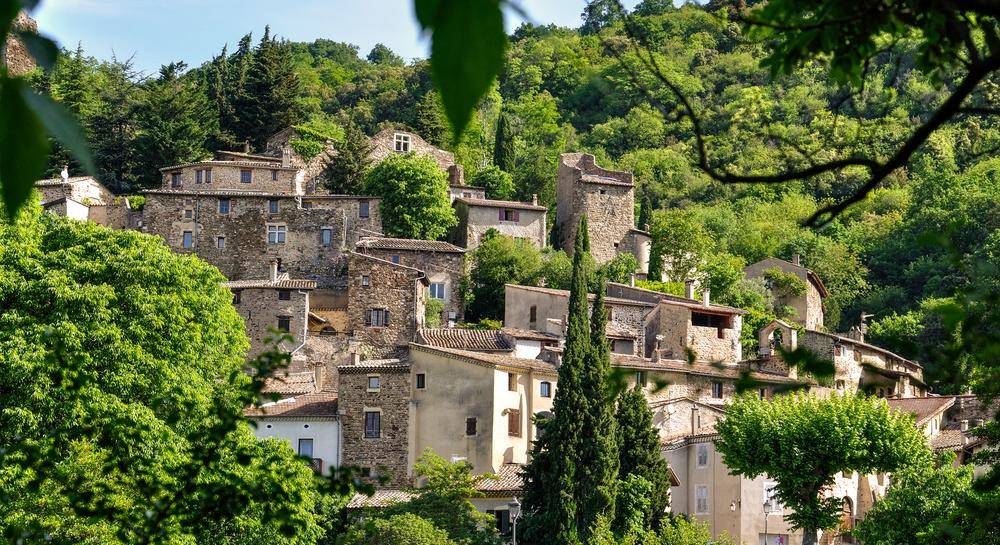
Saint-Fortunat-sur-Eyrieux
The developed section of the routefrom Saint-Fortunat-sur-Eyrieuxtothe Chervil bridge. Along this section of the former railway line, the local authorities have carried out work to secure the structures, install gates to prevent vehicle access, and improve the ground surface.
The route is not signposted, but its gentle gradient and layout make it easy to follow.
The trail invites you to explore the landscapes of the Eyrieux Valley: orchards, terraced fields and a variety of trees, ranging from oaks tochestnut treesand larch trees, as you climb higher.
Engineering structures –bridges and tunnels – truly illustrate the scale of human endeavour in the 19th century, which was essential to improving living conditions.
All along the route, there are numerous examples of the valley’s architecture and industrial heritage: granite houses clinging to the mountainsides, old mills, factories…
Les Ollières-sur-l’Eyrieux
Les Ollières, the main village in the Eyrieux Valley – which offers white-water activities in summer – welcomes you halfway along your hike. From here, you can switch to other activities such as canoeing, kayaking, water hiking, high-rope adventure courses, mountain bike hire and more…
The19th-centurysteam train opened up this valley, as industrialists and farmers flocked to the numerous stations along the route with their goods.
At that time, this part of the Ardèche was still driven by the silk industry. The spinning mills were in full swing, employing women and children. The train carried bobbins of silk thread to Lyon (the Canuts) as well as the many fruits grown along the River Eyrieux, including the famouschestnut.
As you cycle from LesOllièrestoLe Cheylard, you’ll find yourself travelling back in time, passing over numerous engineering structures and admiring the old spinning mills that still feature prominently in the landscape.
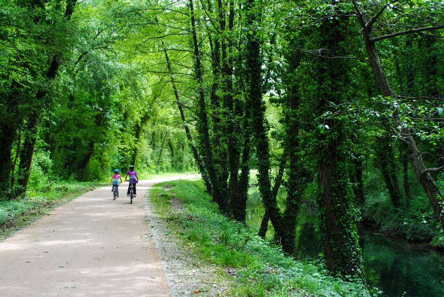
Saint-Sauveur-de-Montagut
As it reachesSaint-Sauveur-de-Montagut, the River Eyrieux winds its way through a series of bends. The banks of the river are lined with holm oaks, boxwoods and thorny acacias, and are laid out in terraces.
The walk continues at a leisurely pace and is sure to delight families, as there are several places to stop along the way. Don’t forget to sample some of the best artisanal ice cream in the Ardèche by stopping off at Saint-Sauveur-de-Montagut (you just need to cross the bridge over the Eyrieux to reach the other bank) or set off straight away on one of the water trails* that have been created in the Eyrieux valley.
The Chervil Bridge
TheChervil Bridge, like the walls of the old departmental railway line, are fine examples of early twentieth-century rural engineering. Here, the river has carved out a deep valley, the slopes of which have been shaped by low stone walls and terraces built by generations of farmers, thus giving the area its unique character.
The landscape around the Chervil Bridge consists of slopes and ‘greenhouses’ that people have had to tame. The landscape is therefore marked by the legacy of past generations: hard-working farmers built low stone walls across all the slopes to retain the soil needed to feed their families; they planted the chestnut tree, known as the ‘bread tree’, which was one of the region’s main sources of wealth, and mulberry trees, which enabled the rearing of silkworms and the development of silk-reeling mills.
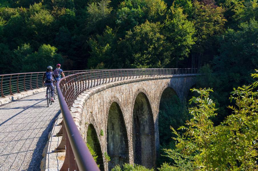
Le Cheylard
After the Chervil Bridge, you’ll be on the home straight before reaching the town of Le Cheylard.
As you approach theCollanges Dam, you’ll have the chance to stop off for a swim at theEyriumwater park, situated alongside the cycle path. Quickly slip on your swimming costume for a refreshing dip in this 1,600m² pool, which is unlike any other.
The railway reached Le Cheylard in 1891, with the opening of the line from La Voulte through the Eyrieux Valley. In 1902, the line from Saint-Agrève to Dunières was connected via LesBoutières. In 1903, the line fromLamastretoTournonwas connected viaLes Nonières. Le Cheylard station thus became the hub of the Vivarais network operated by theArdèche Departmental RailwayCompany (CFD).
Local history in Le Cheylard is strongly shaped by industrialisation and the development of an industry that was vital in the 19th century, made possible by the railway:tanning.
Even today, Le Cheylard exports its products internationally, in the fields of textiles, jewellery and cutting-edge engineering.
Saint-Martin de Valamas, Saint-Agrève
After LeCheylard, follow the Eyrieux river upstream towards LesHautes-Boutièresto reachSaint-Martin de Valamas, the birthplace of this gem.
As you emerge fromthe Riotord tunnel, take a moment to admire the ruins ofRochebonne Castleoverlooking the valley and the Dolce Via.
Enter the upper Eyrieux valley, where streams and forests follow one after another, to reachSaint-Julien-Boutièresand Intres.
The dizzyingMalheur BridgeandtheimpressiveBon Pas Tunnelwill take you up to theSaint-Agrèveplateau, which rises to an altitude of over 1,000 metres.
Les Nonières, Lamastre
Gain some altitude as you pass through theNonières Tunnel, the longest on theDolce Viaat 320 metres, which is lit.Along the route, enjoy the scenery of the Boutières, with theGerbier-de-JoncandMont Mézencas a backdrop.
Next, theDolce Viawinds its way along the River Sumène, which joinsthe River Douxat Lamastre.
Lamastre, the town where parts of *Les Cracks*, *Le Juge* and *L’Assassin* were filmed, is also the terminus of the Mastrou, that legendary steam train which criss-crosses the gorges from end to end.
Descent through the Doux Valley
A downhill cycle route betweenLamastreandTournon-sur-Rhône, following in the footsteps of theMastrou.
As you travelthrough theDoux Valley, be sure not to miss the charming villages ofDesaignes, with its lake, andBoucieu-le-Roi, before reaching the majesticDoux Gorges.
La Dolce Via at a glance
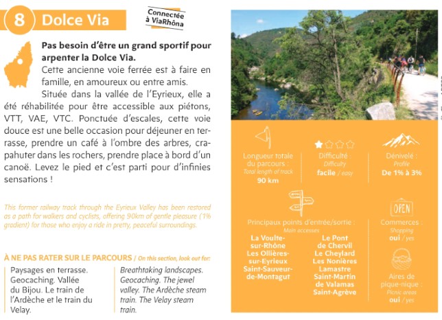
Towns and villages to be linked by the Via Ardèche by 2026:
- La Voulte-sur-Rhône
- Les Ollières-sur-Eyrieux
- Chalencon (Chervil Bridge)
- Le Cheylard
- Saint-Martin-de-Valamas
- Saint-Agrève
- Towards the Doux Valley
- Les Nonières
- Lamastre
Where to stay?
Where can you stay along the greenway and in the nearby towns? Hotels, holiday cottages, B&Bs and holiday rentals:

- The Routes, the official website of the Dolce Via in the Ardèche ↗